Mapping
- Digital Elevation Modelling (DEM) for height and depth of land
- Land surveying for biomass output prediction
- Pre-planting land surveying

Multi-spectral
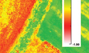
- Normalized difference vegetation index (NDVI) analysis
- Plant health measurement
- Mid-season crop health monitoring
- Mid-field weed identification
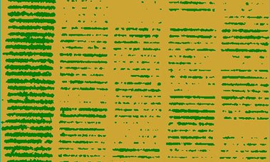
- Plant counting for yield management
- Harvest monitoring

High resolution imagery
- Plant identification and counting
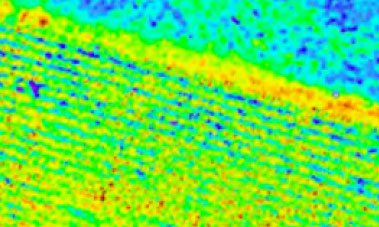
- Post-harvest field analysis (vertical strips of residue, tillage patterns, etc.)
- Crop scouting

Thermal inspection
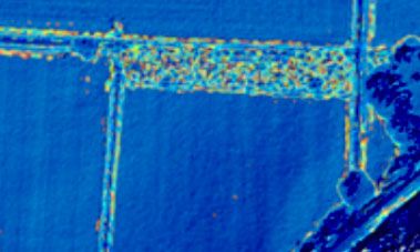
- Heat detection of live animals in field
- Field water planning detection and source identification

Help and Maintenance
- Fertilizer aerial applications
- Irrigation equipment monitoring


